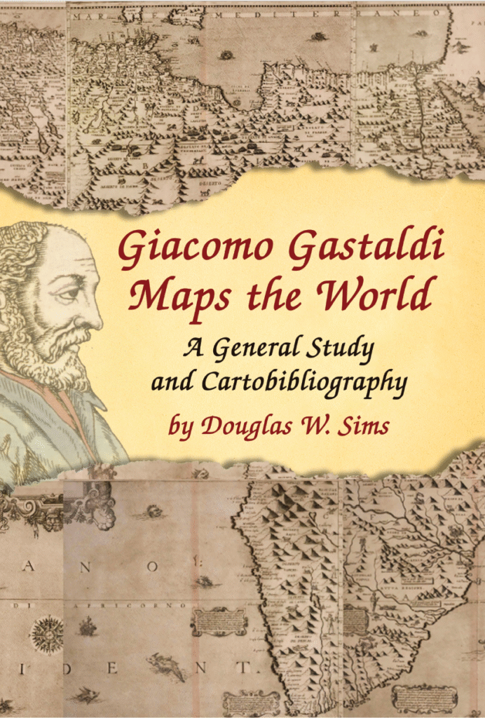
Giacomo Gastaldi Maps the World

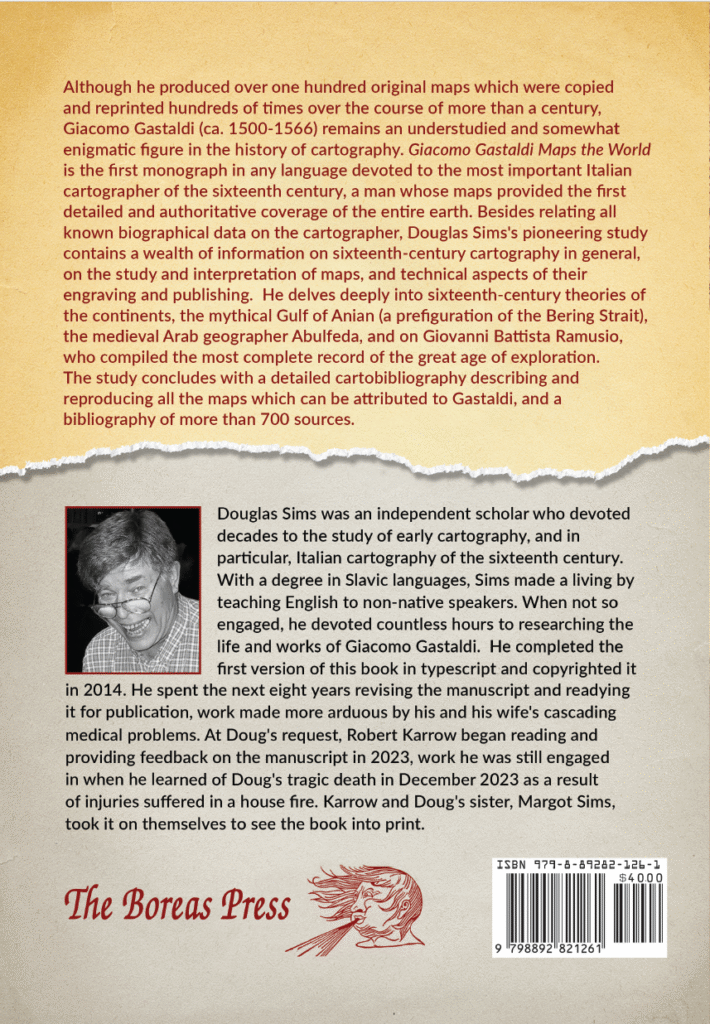
Giacomo Gastaldi Maps the World is the first full-length monograph in any language devoted to the most important Italian cartographer of the sixteenth-century. Although he produced over one hundred original maps which were copied and reprinted hundreds of times over the course of more than a century, Giacomo Gastaldi (ca. 1500-1566) remains an understudied and somewhat enigmatic figure in the history of cartography. As Sims documents in great detail, Gastaldi, relying heavily on the geographical accounts gathered by his Venetian colleague Giovanni Battista Ramusio, made a series of maps that provided the first detailed and authoritative coverage of the entire earth. Besides relating all known biographical data on the cartographer, Douglas Sims’ pioneering study contains a wealth of information on sixteenth-century cartography in general, on the study and interpretation of maps, the technical aspects of their engraving and publishing, and on map production in Venice. He delves deeply into sixteenth-century theories of the continents, the mythical Gulf of Anian (a prefiguration of the Bering Strait), the medieval Arabic geographer Abulfeda, and Ramusio, whose six-volume Navigazioni et viaggi contained the most complete record of the great age of exploration. The study concludes with a detailed cartobibliography describing 136 maps which can be attributed to Gastaldi, a bibliography of more than 700 sources, and a detailed index. Each of the maps attributed to Gastaldi is illustrated (albeit at small scale) and the cartobibliography includes citations to hundreds of printed and online reproductions.


